Big Sur - January 2016
Route: Caltopo. Note: trail locations on various maps will differ wildly, please plan carefully. I find Big Sur trail map to be the most accurate, using GPS data. Also note that most of our route was heavily affected by the Soberanes fire in 2016, so be aware that trails may have shifted, and conditions will have changed significantly.
We began at Julia Pfeiffer Burns State Park on a cloudy New Year's day! As is often the case, the initial plan was far more ambitious than what we actually did (which was hard enough!), and so ambitious that I'm too embarrassed to share it here.
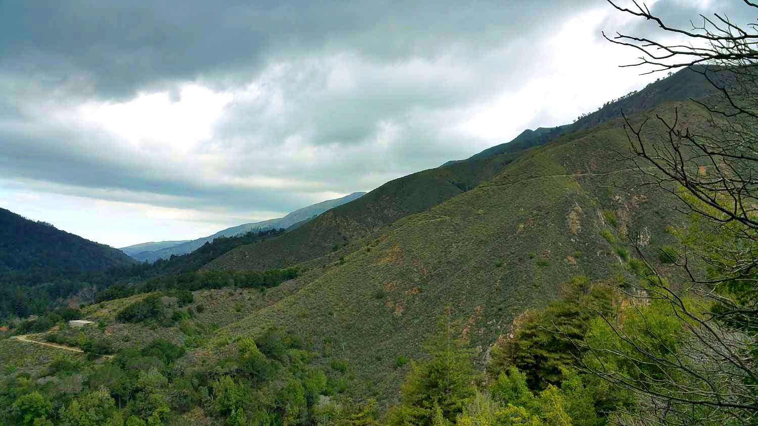
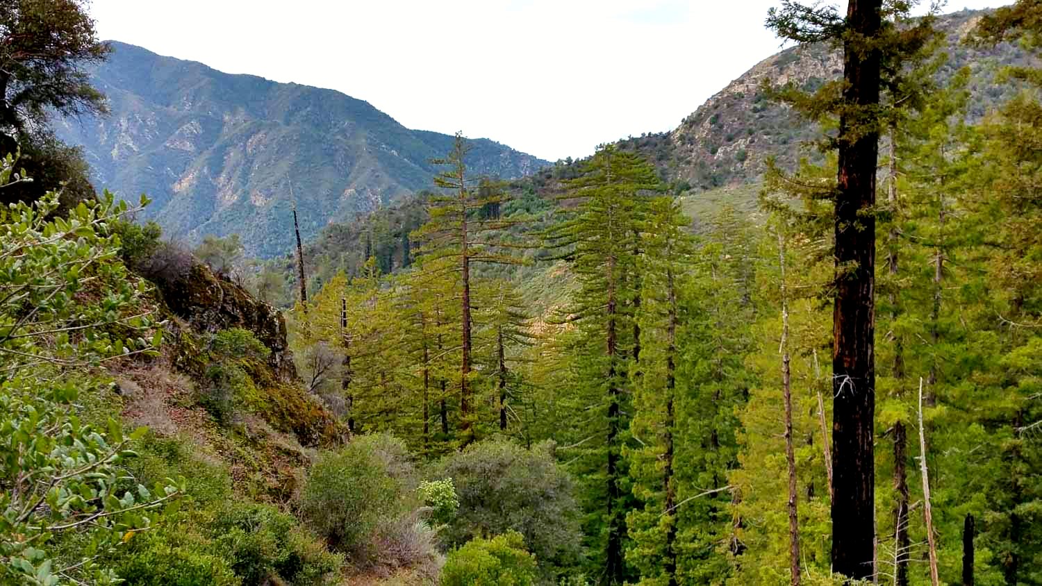
The first night, we camped at Redwood camp, which is about 2-3 miles further west of Sykes camp (the one with the hot springs). I think there was one other person there that night, but no interaction! We started the next morning by losing the trail (nice!), not a good start. We saw a lot of Santa Lucia firs (very very rare)!
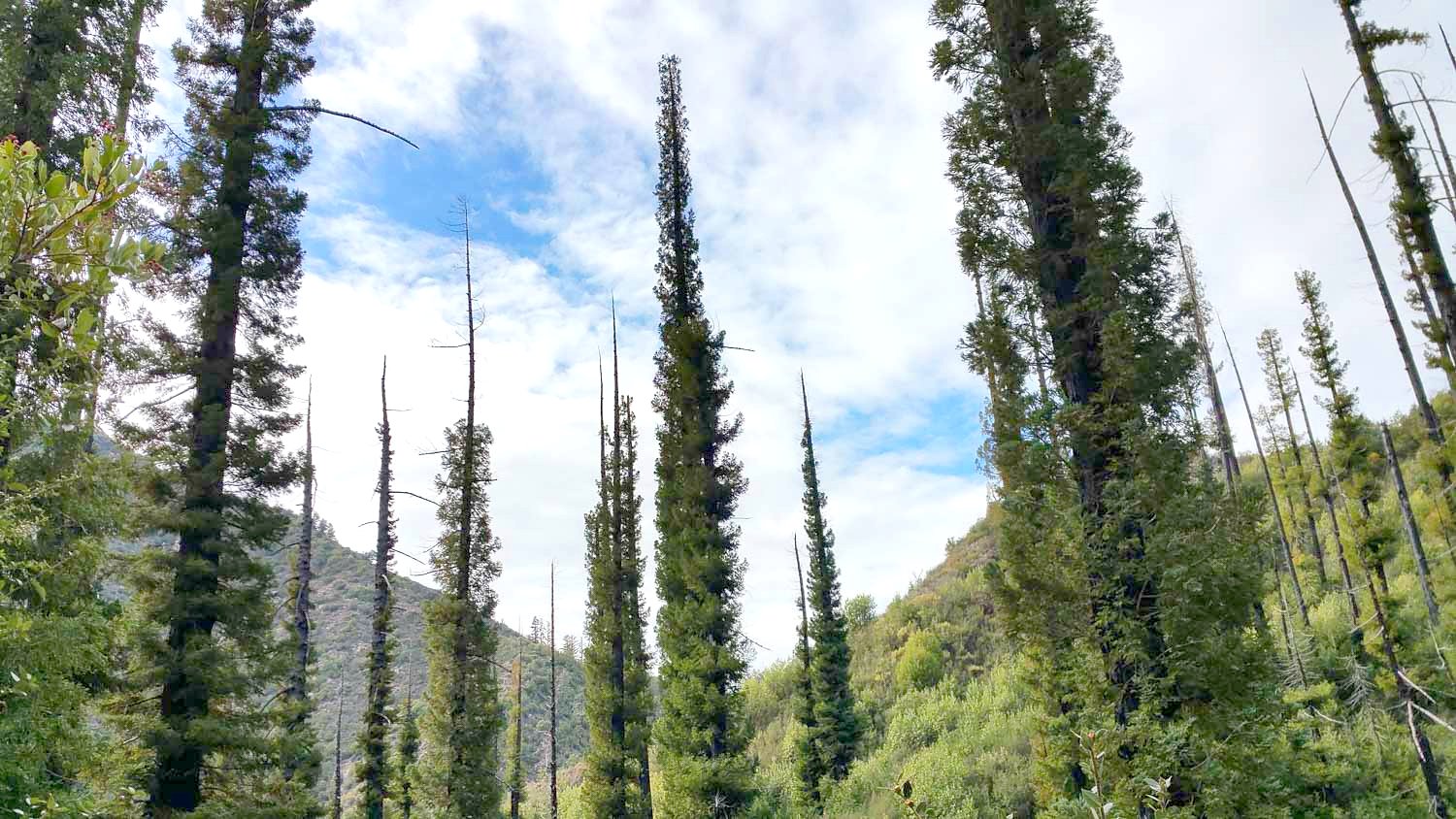
The second day was a disaster! When we left the Pine Ridge trail and took the Big Sur trail towards, Cienega camp, the trail pretty much just disappeared. It was hidden under 6-7 foot tall bushes, and we had to pretty much scramble our way through the bushes to get to Cienega camp, where the brush let up for a couple hundred yards. Then we crossed the North Fork Big Sur River, and everything just got so much worse. We climbed about 1000 feet through overgrown switchbacks covered by 8-9 foot tall bushes growing through the entire trail. These weren't like soft tame bushes, they had branches thick as arms that just totally blocked the trail. The branches scratched your arms and sides and neck when you pushed through them, and about half the bushes had very sharp leaves as well.
We finally reached the 2600' pass, and the descent to the Big Sur South fork was very painless. We made it to Rainbow Camp by sunset, but in the interest of time, we chose to keep hiking in the dark to Cold Spring camp. Once it's dark, there is pretty much no reason to hike faster, so it was very casual (and cold)... No more bushes thankfully, but very very spooky. We actually overhiked past Cold Springs camp because we didn't know we hit it, so we ended up camping on the Coast Ridge road instead. Super windy!
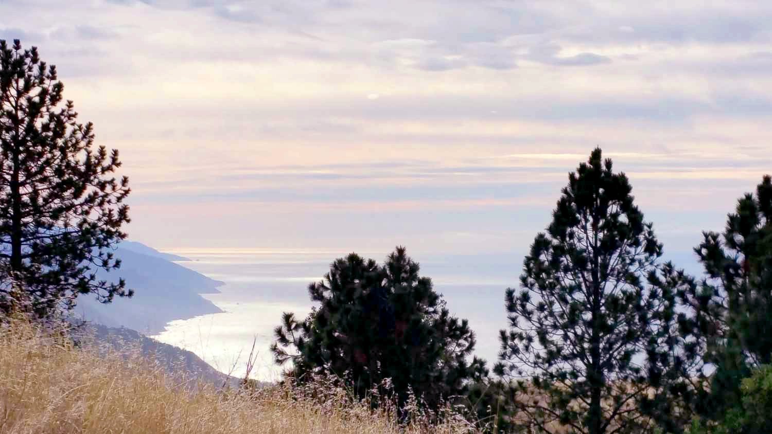
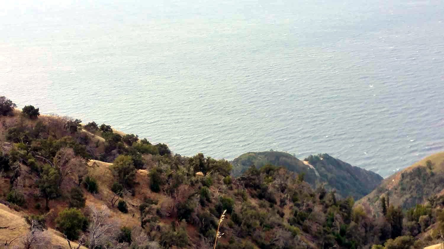
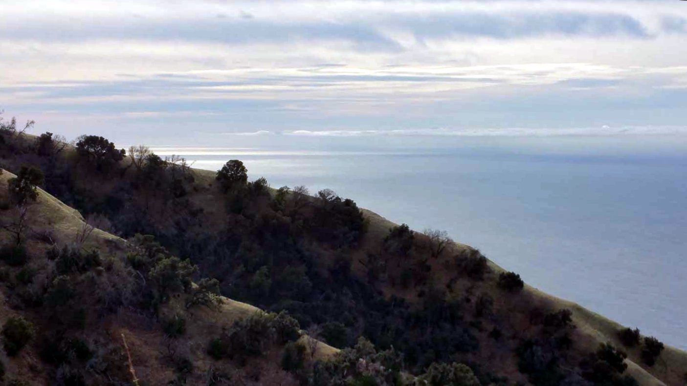
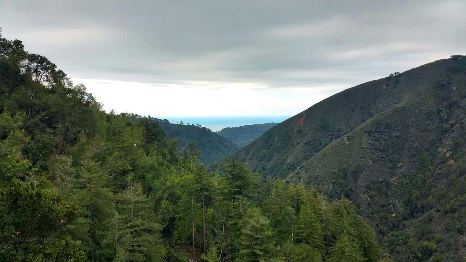
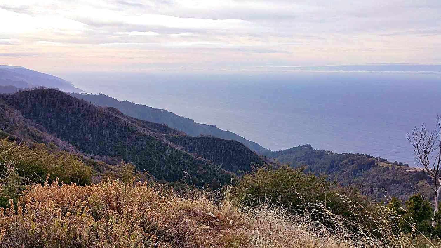
Next day was very beautiful with all the oceans.
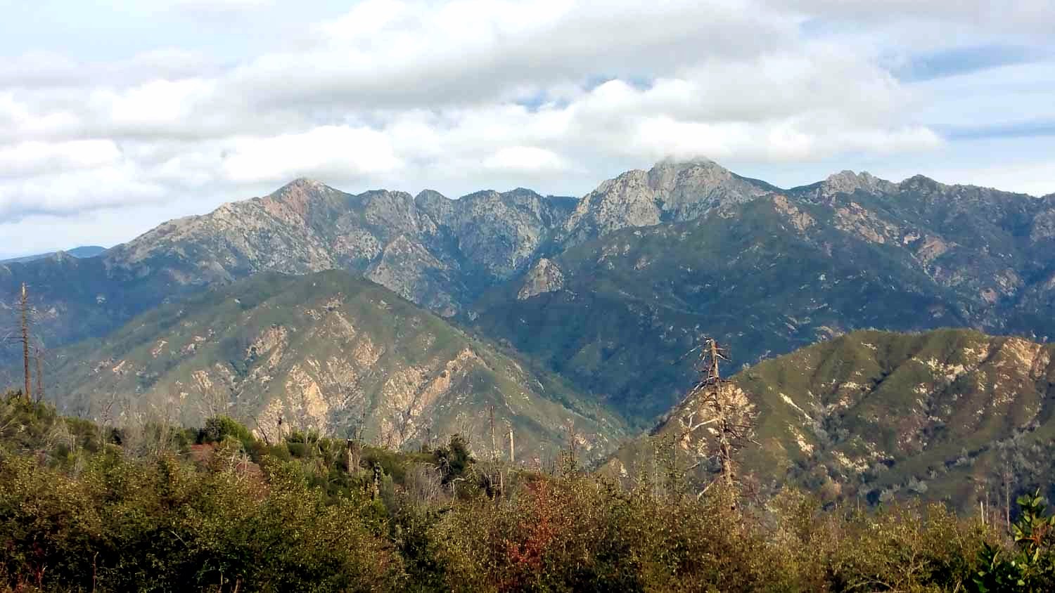
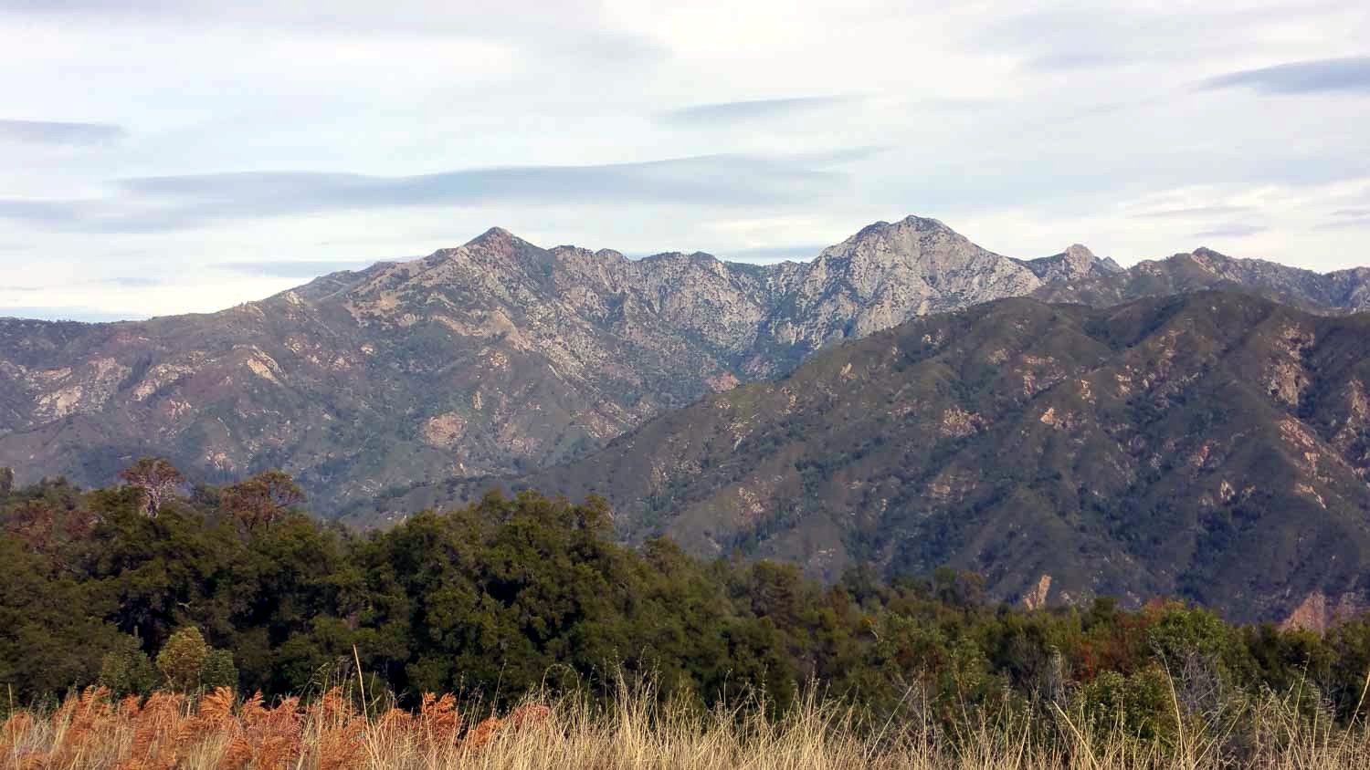
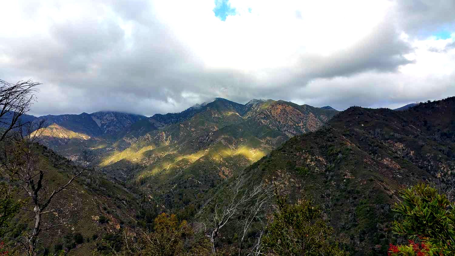
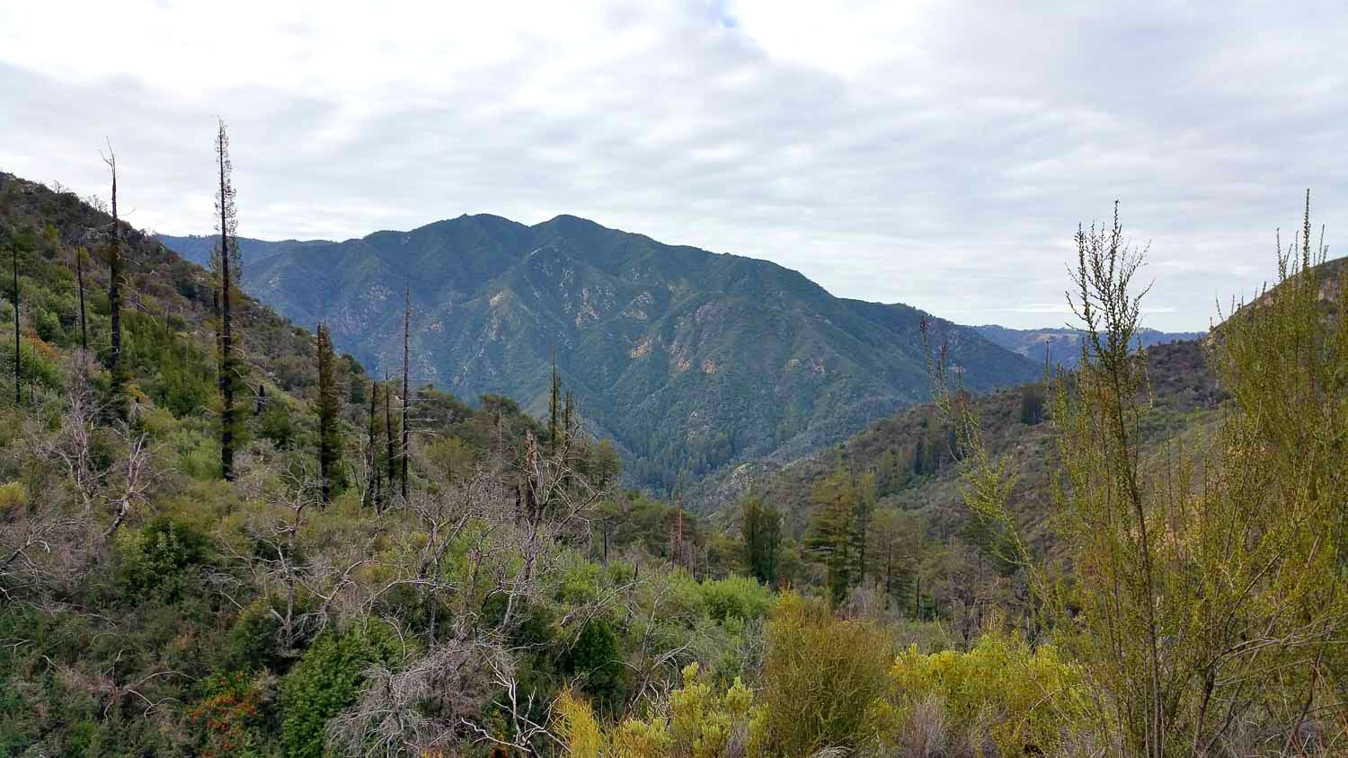
Ventana Double Cone topped by clouds